TABLE OF CONTENTS
-
01
Introduction
-
02
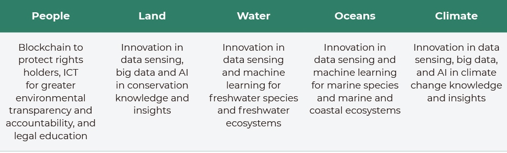
The Role of Digital Technology Solutions
-
03
The role of Standards in appropriate technology deployment
-
04
How technology can help implement the IUCN Green List Standard
-
05
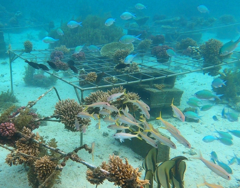
How technology can help support the Global Biodiversity Framework 30x30 Target
-
06
Case studies and lessons learned
-
07
Future Directions and Opportunities
-
08
Recommendations for scaling up Tech4Nature efforts globally
-
09
Call to action for stakeholders to embrace and support Tech4Nature
-
Annexes
-
References
- Published by International Union for Conservation of Nature (IUCN) © 2023
- With thanks to all contributors to the publication:
- The IUCN Tech4Nature project team: James McBreen, Nadine Seleem, Khalid Pasha, Yves Olatoundji, Carla Danelutti, Lucía Prieto Fustes, Arnau Teixidor, Yan Zhang, Wenjia Jin, Marshall Banamwama, Tatiana Ivanova, Aleksandra Nikodinovic
- The IUCN Protected and Conserved Areas and Species Conservation Action Teams: Charlie Tokeley, Jennifer Kelleher, Paola Ivanova Diaz Allen, Swati Hingorani, Dao Nguyen, Ulrika Åberg, Marine Deguignet.
- Project Partners: C-Minds, Ecomode Society, Porini Foundation
- Contributing Partners: Rainforest Connection (RFCx) and UNEP-WCMC
- And special thanks to IUCN Director General, Dr. Grethel Aguilar, Deputy Director General, Stewart Maginnis and the Head of the IUCN Protected and Conserved Areas Team, James Hardcastle for their continuous support and to the Huawei team for the technical input and contribution to this publication.
- Editing/Proofreading Amy Sweeting
- Layout/Design Imre Sebestyén jr. / UNITgraphics.com
- Date of publication October 2023
- Photo credits: All photos credited